
Loading cart contents...


1858 Antique Map of France – “Carte de France”
Antique Map of France – “Carte de France” (1858)
Engraved map with hand-coloring
- Dimensions: 47 x 34 cm (map only)
- Frame available upon request (+50 EUR)
This exquisite 1858 map of France, engraved by Delamarche, showcases the country meticulously divided into its 86 départements. A product of 19th-century French cartographic expertise, this piece features finely engraved details, delicate hand-colored borders, and elegant calligraphy, making it both historically significant and aesthetically captivating.
The map includes an inset of Corsica, further enhancing its completeness. Its detailed road networks, rivers, and territorial divisions reflect the evolving geography of France in the mid-19th century, making it a valuable piece for historians, collectors, and Francophiles alike.
A perfect addition to any collection, study, or sophisticated interior, this timeless artifact is a wonderful conversation piece and a window into historical France.
📍 Available unframed. Custom framing available upon request.
180 €
1 in stock
Related products


Top rated products
-
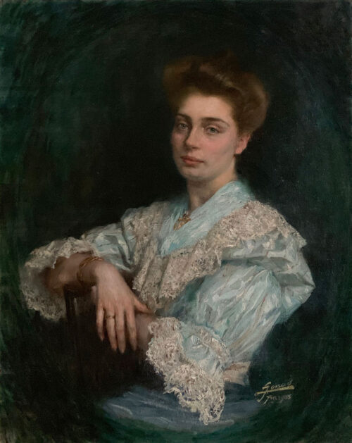
 Henri Valachman (1925 - 2020) ''Nature morte with Violin'' 1968, oil on canvas, 64 x 54cm
990 €
Henri Valachman (1925 - 2020) ''Nature morte with Violin'' 1968, oil on canvas, 64 x 54cm
990 €
-
 Roland Chanco (1914 - 2017) L’homme et la soleil rouge, 1952, 50x35
5500 €
Roland Chanco (1914 - 2017) L’homme et la soleil rouge, 1952, 50x35
5500 €
-
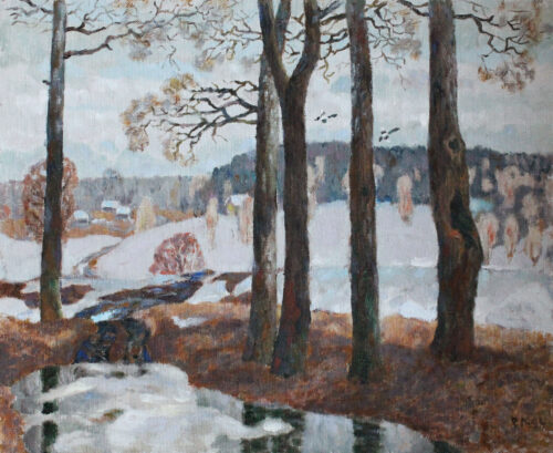 ROBERT LANDARSKY (b. 1936) ''Paysage de Neige'', 1994, oil on canvas, 50x60cm
2500 €
ROBERT LANDARSKY (b. 1936) ''Paysage de Neige'', 1994, oil on canvas, 50x60cm
2500 €
-
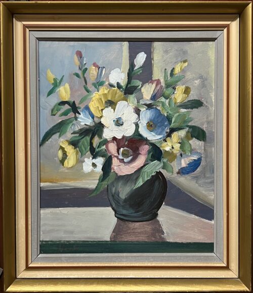 "Window Light & Wild Blooms" – Oil Still Life by Susanne Mark (1980s) 60x50cm
490 €
"Window Light & Wild Blooms" – Oil Still Life by Susanne Mark (1980s) 60x50cm
490 €
-
 Lasse Salanen (1901–1994) ''Lapland'' 1949, 50 x 45 cm, oil on canvas.
490 €
Lasse Salanen (1901–1994) ''Lapland'' 1949, 50 x 45 cm, oil on canvas.
490 €
Reviews
There are no reviews yet.